
We create software that empowers regenerative planning and design.



Origami Earth
An integrated and comprehensive app suite for regenerative design
The Origami Earth assessment, planning and design applications suite are integrated cross-platform software that will be sold via a tiered subscription model. We are catering to regenerative, permaculture, ecological, architectural and engineering designers who utilize whole systems approaches to planning and design. Our products are crafted to appeal to students, professionals, property owners, design firms, and institutions. We are approaching the release of our broader market entry-level app, Origami Earth Field Designer, in January 2027. Origami Earth Pro is planned for release in Summer 2027.

Our software includes:
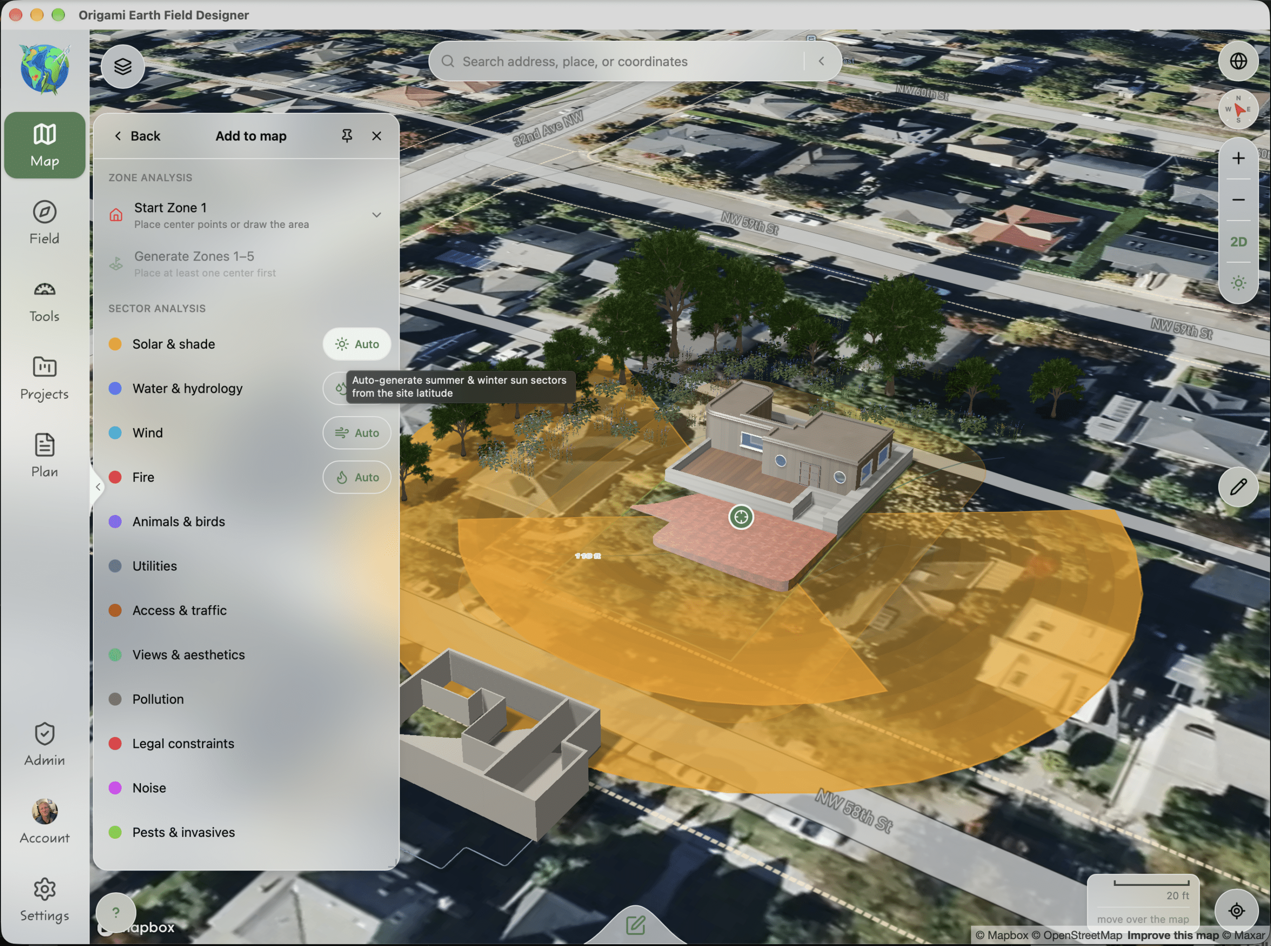
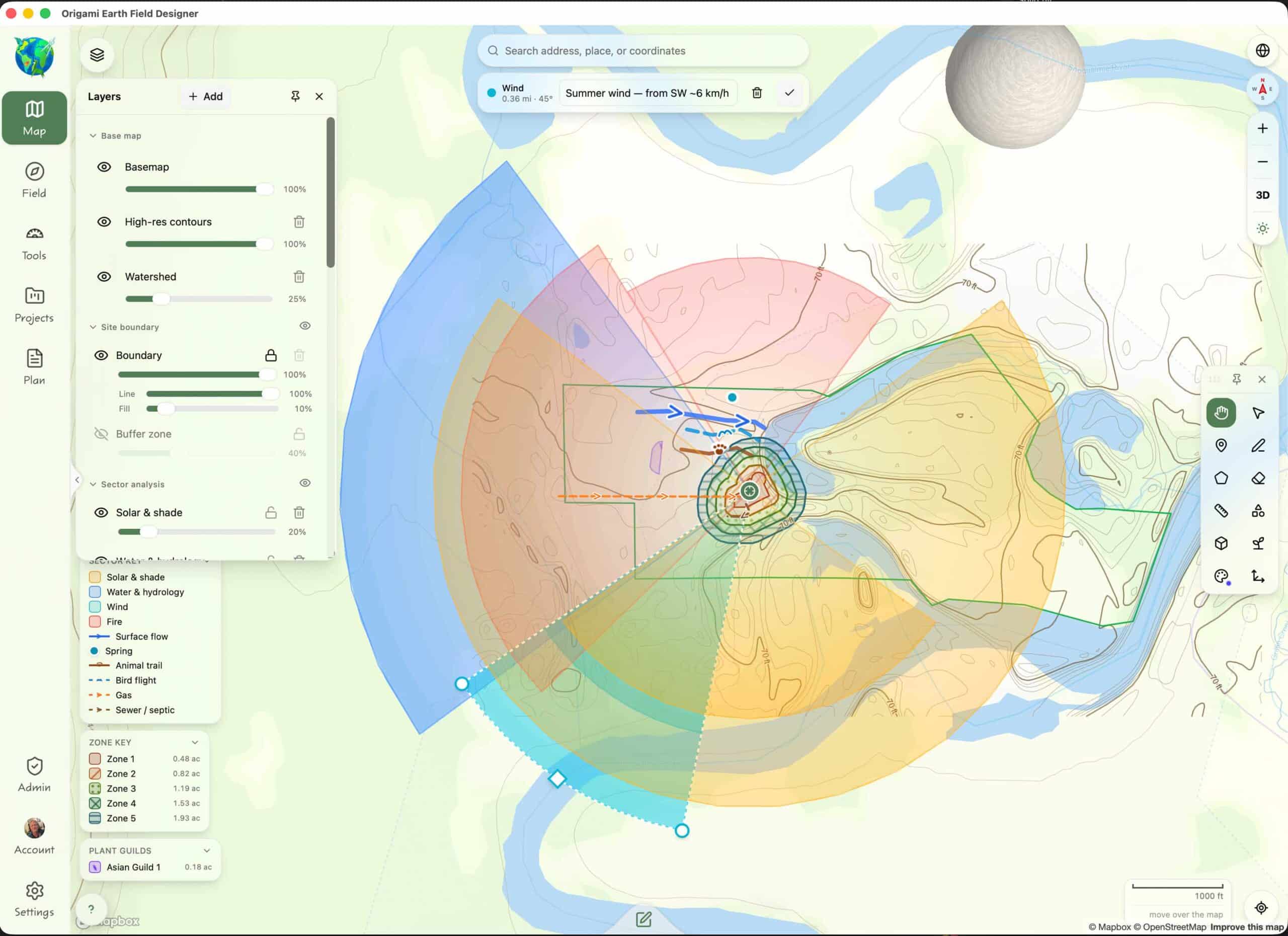
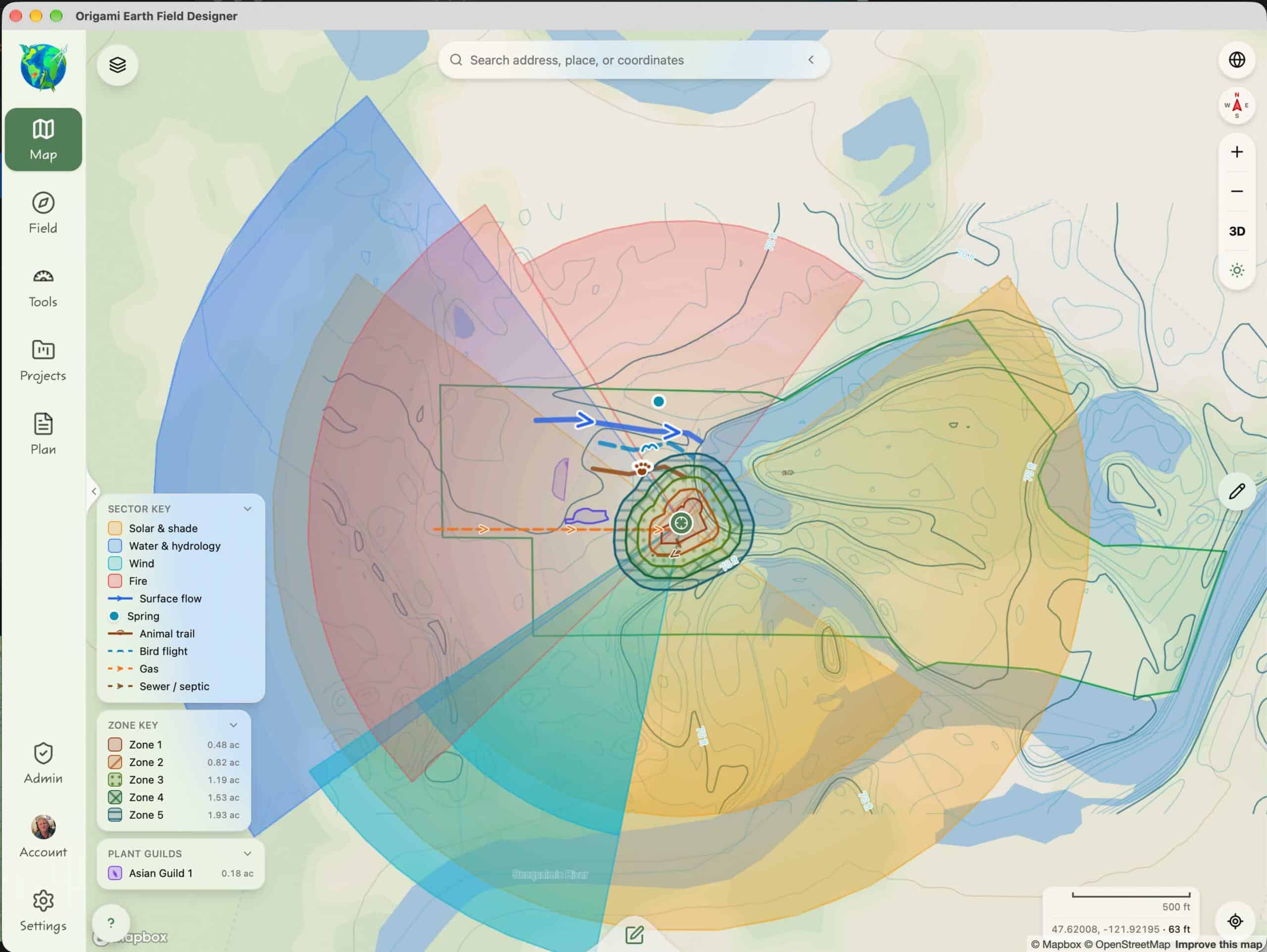
Sector / Environmental Analysis
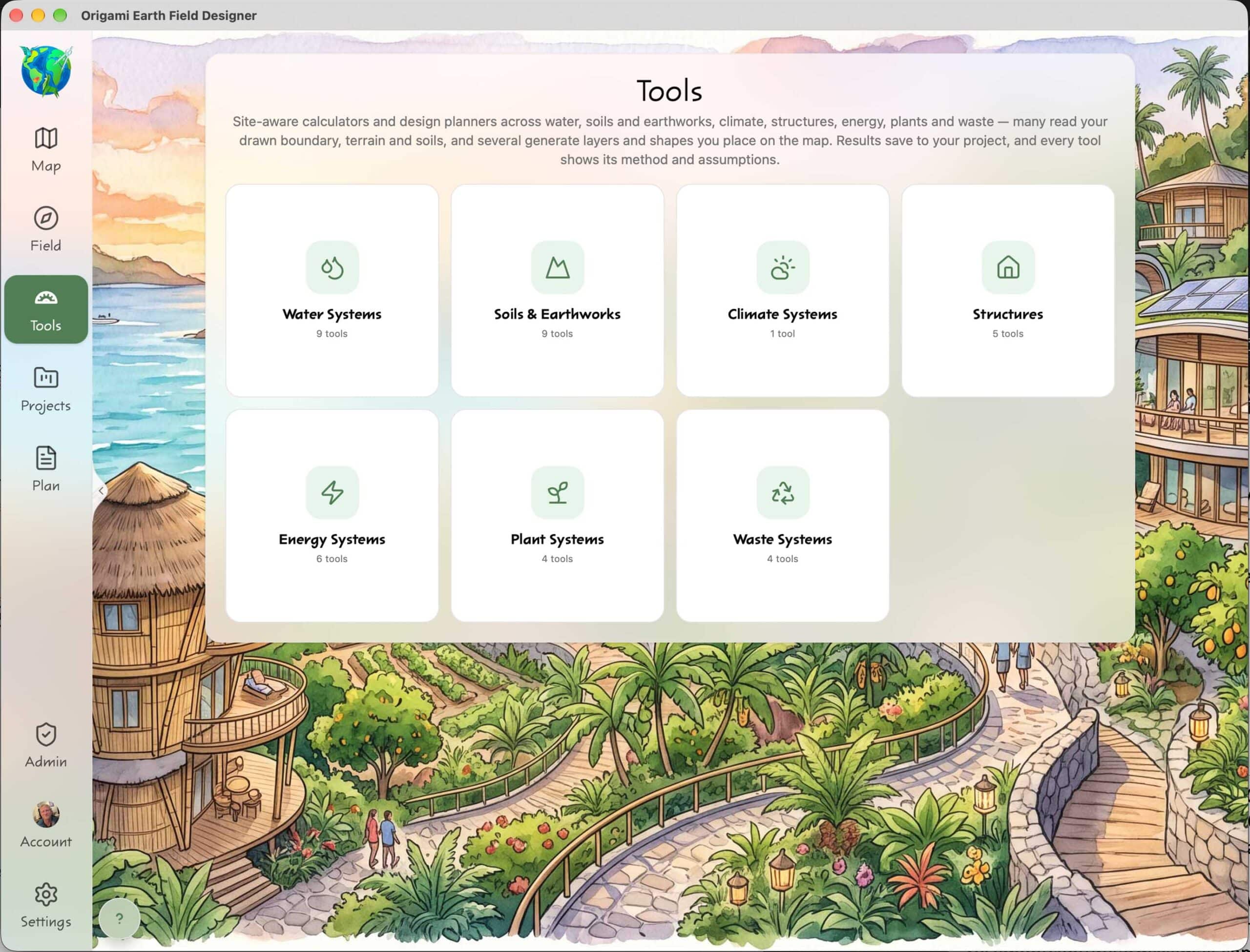
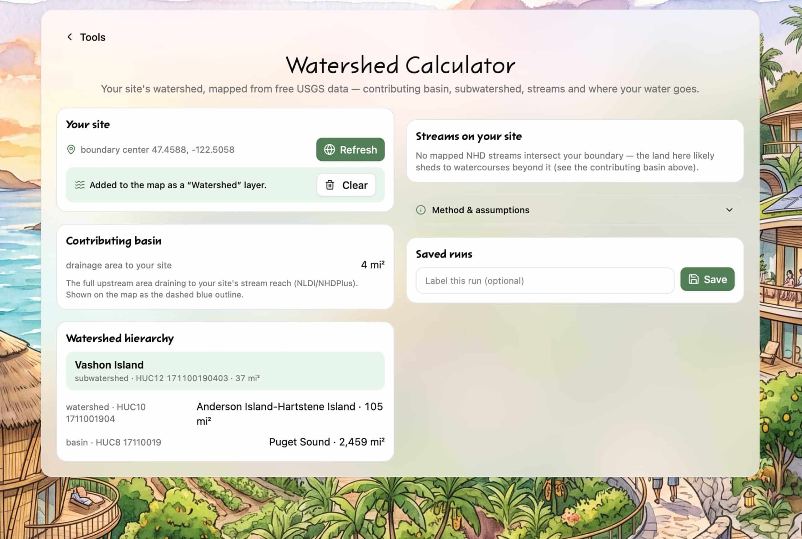
Evaluate and map how environmental elements impact your site: solar/shade, fire, wind, water, animal migration, noise, pollution, utilities, and more.
Collect & Integrate Field Data
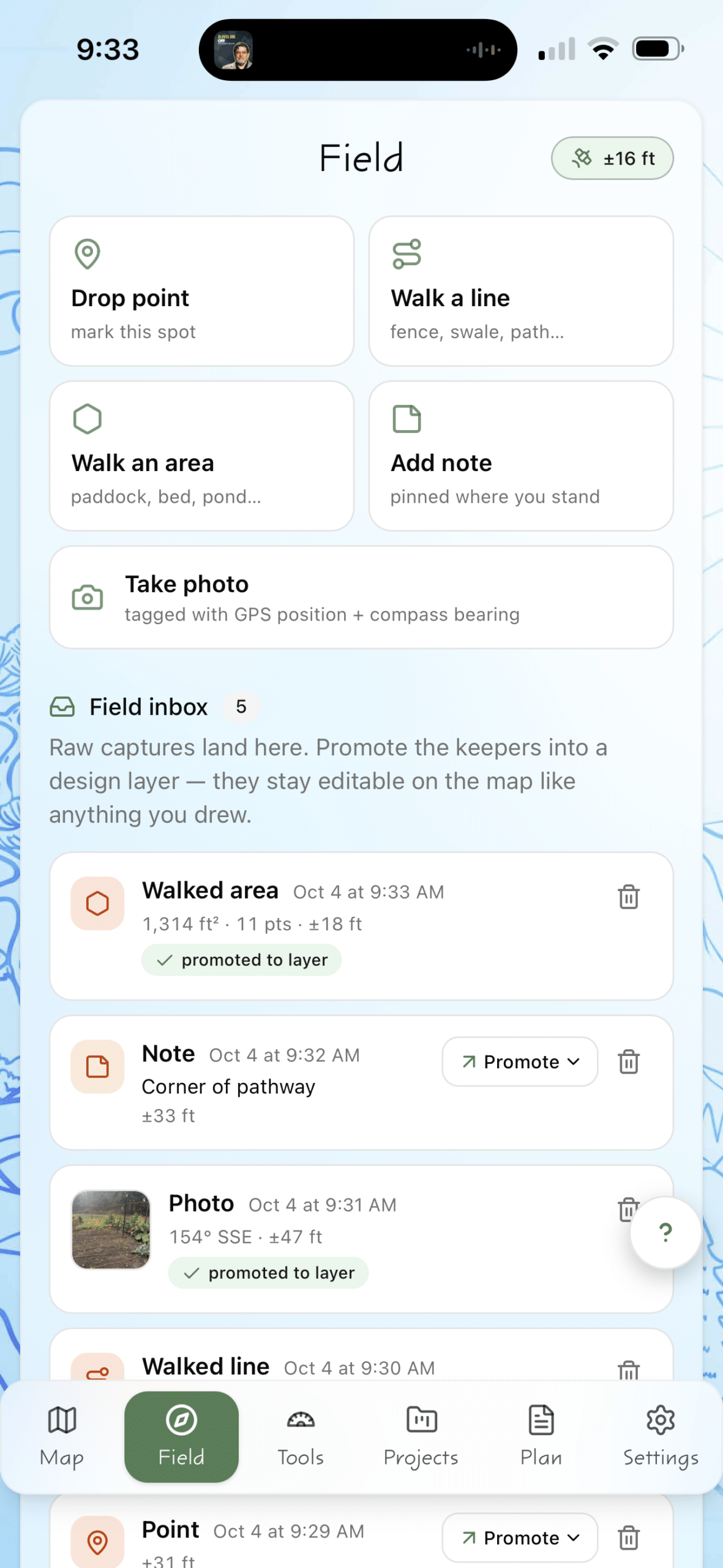
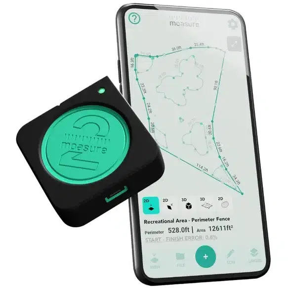
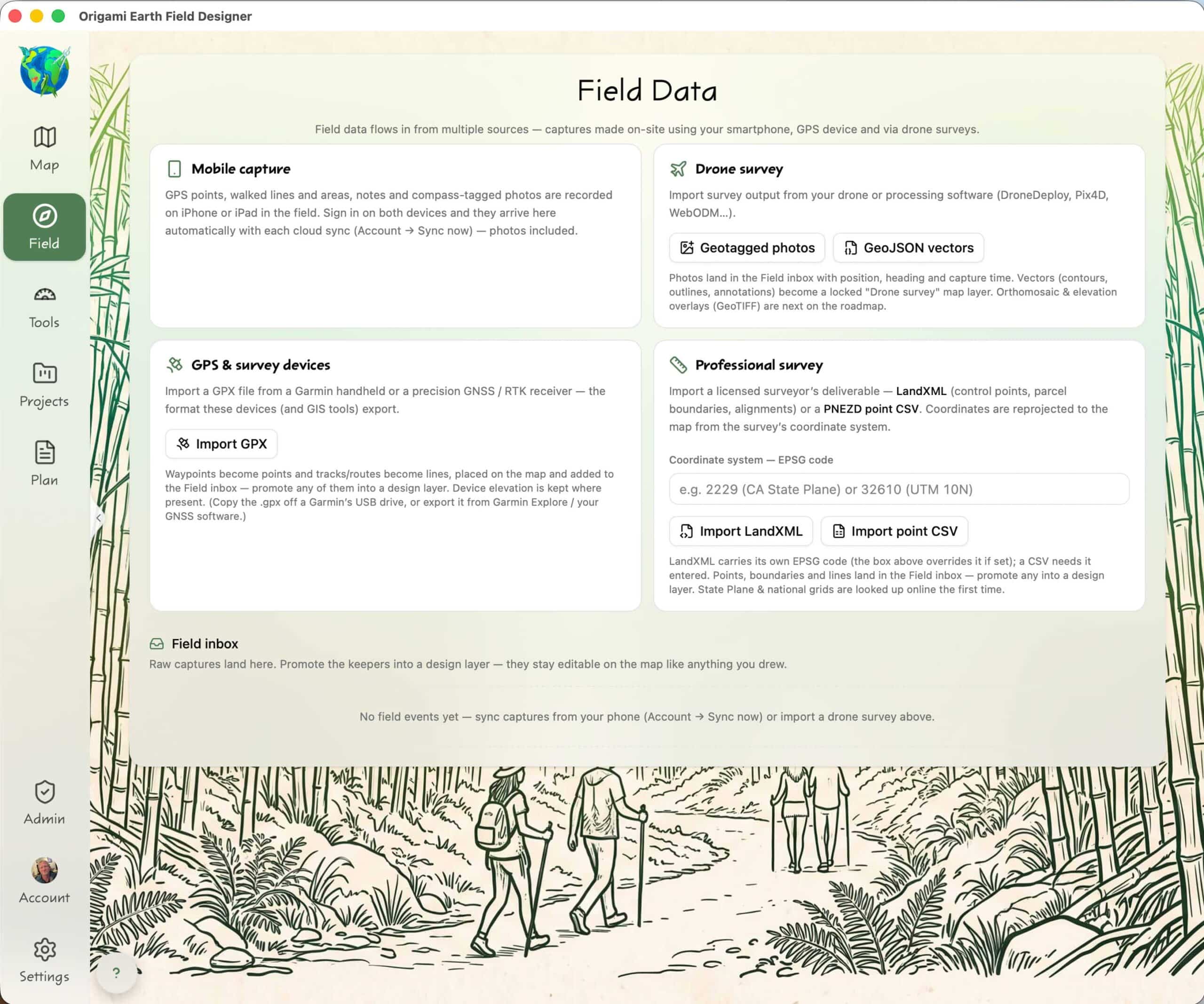
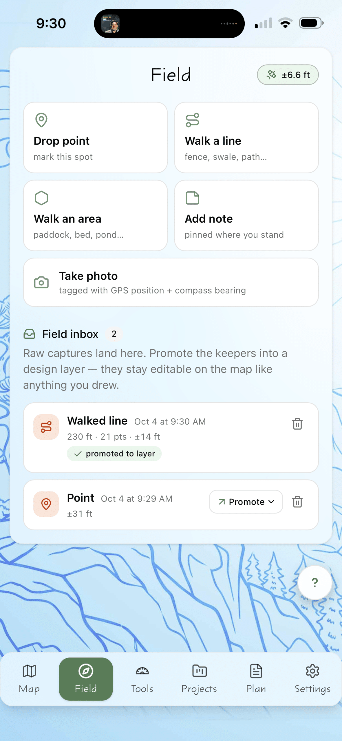
Use your phone, tablet and other devices such as drones, RTK GPS mobile units to measure, map and take geolocated photos, notes. Import walked paths, areas and notes into your maps and designs, generate high precision terrain models, and more!

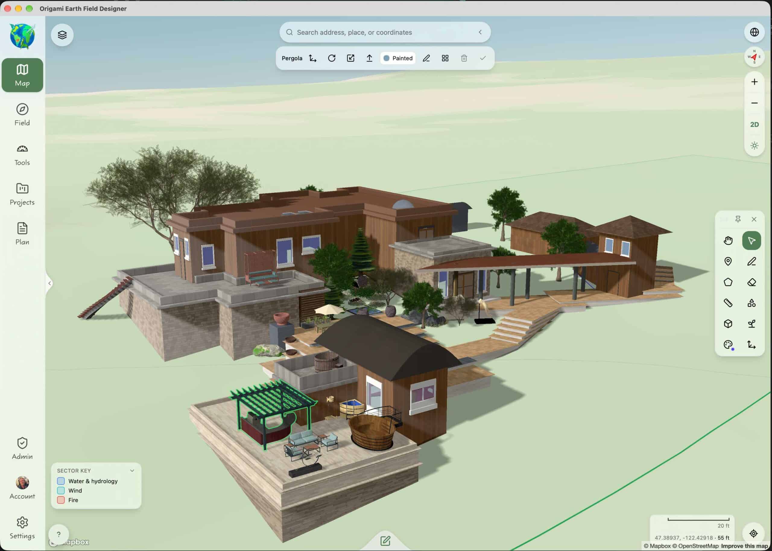
User Friendly 2D/3D CAD
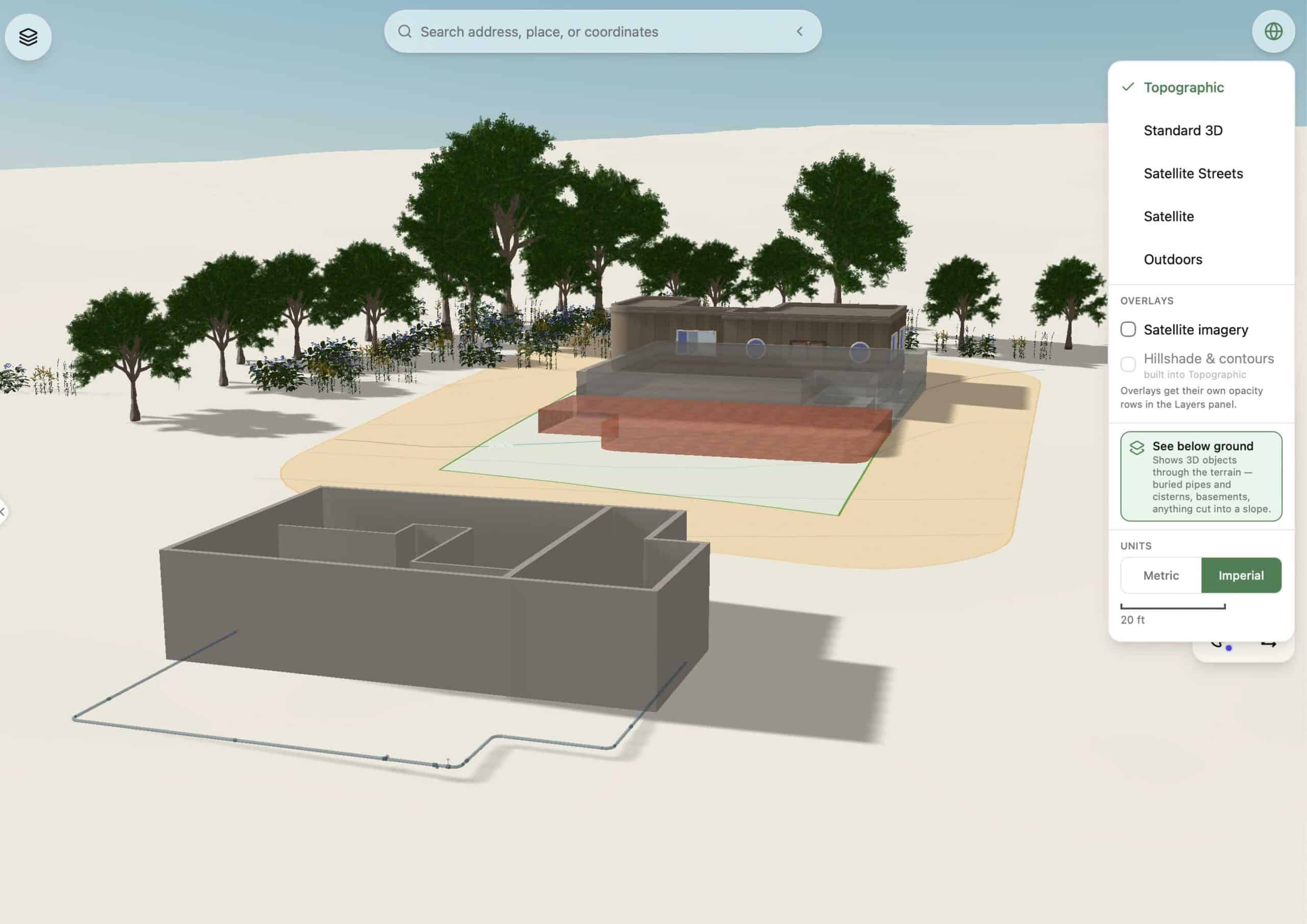
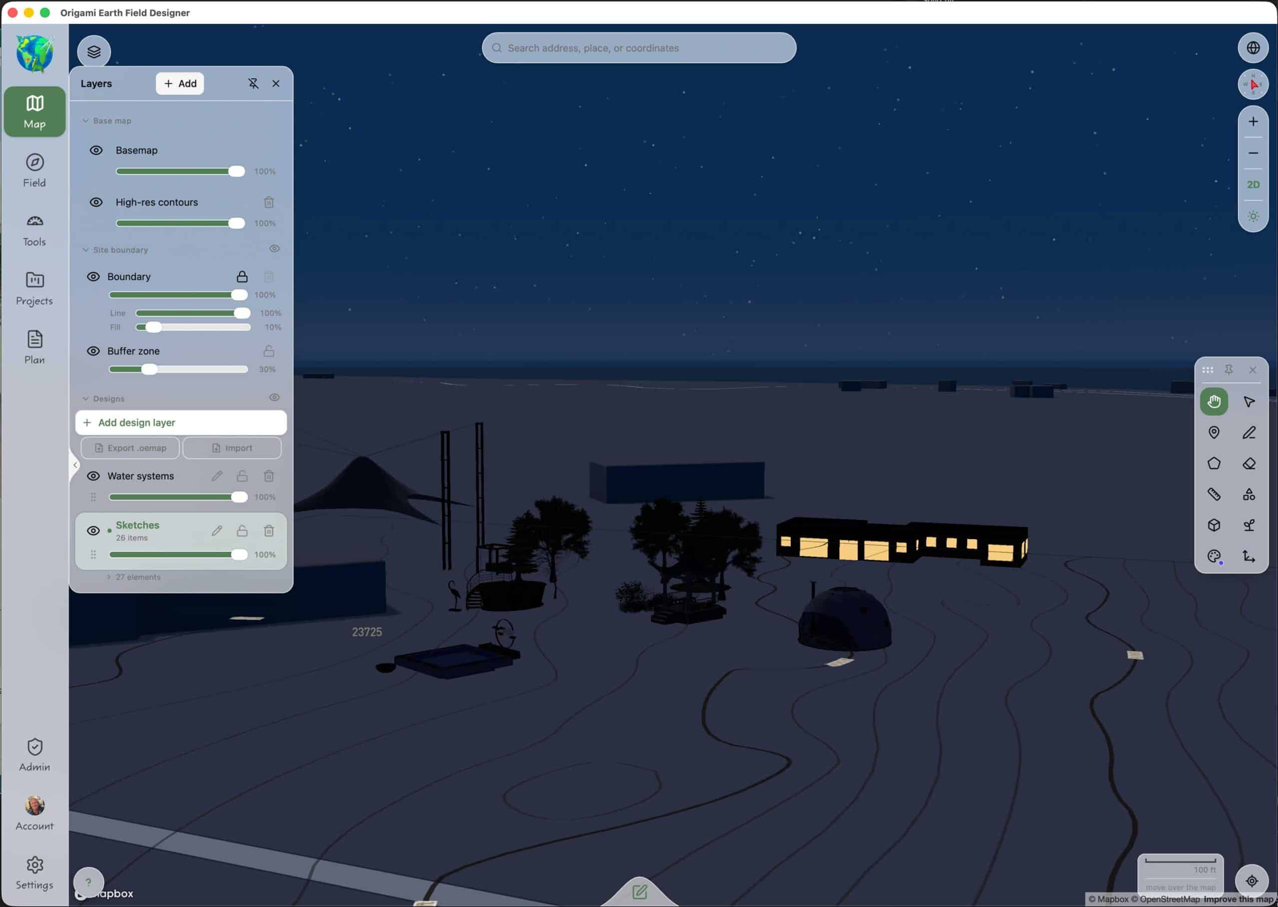
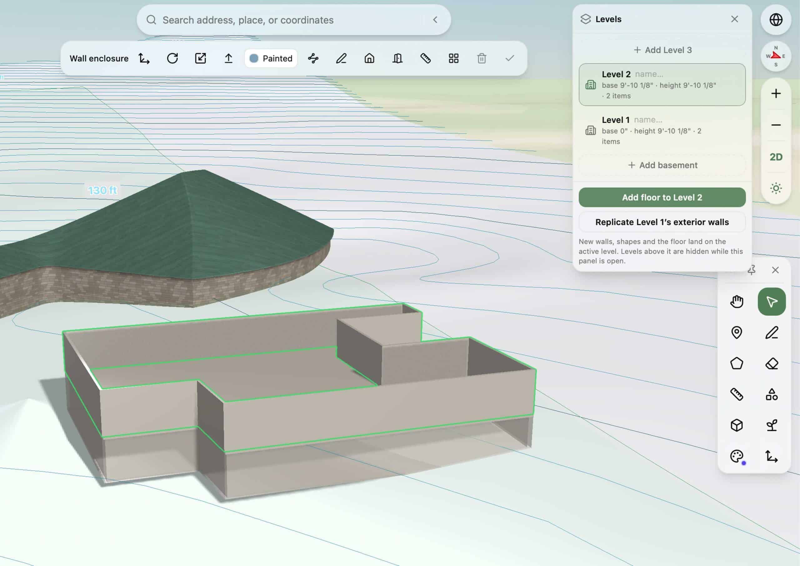
Our CAD software allows you to create layouts, structures and landscape plans within a GIS map. You can create buildings on grade, view below the ground to easily draw piping and utilties, excavate terrain models and stage plans across timelines.
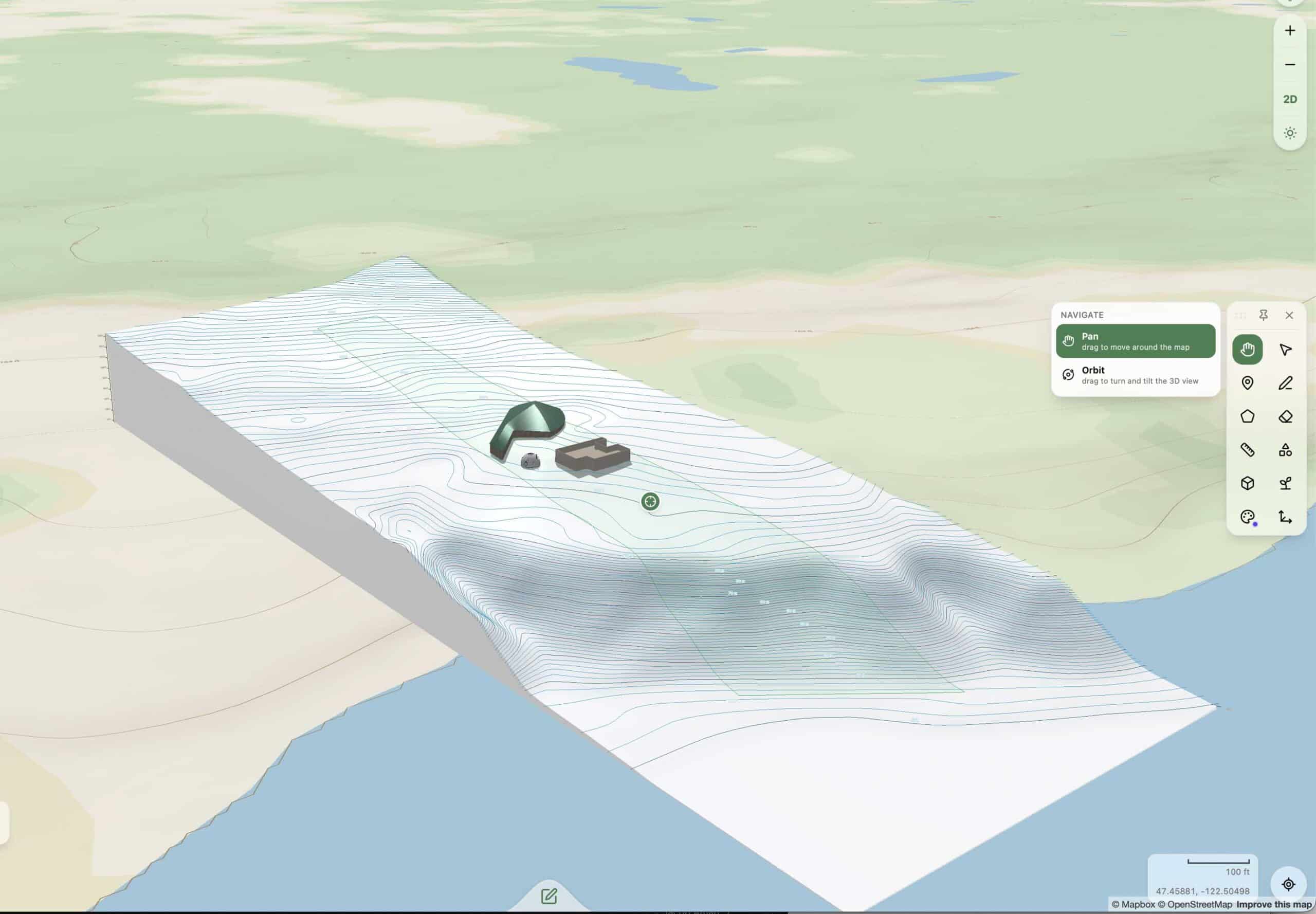
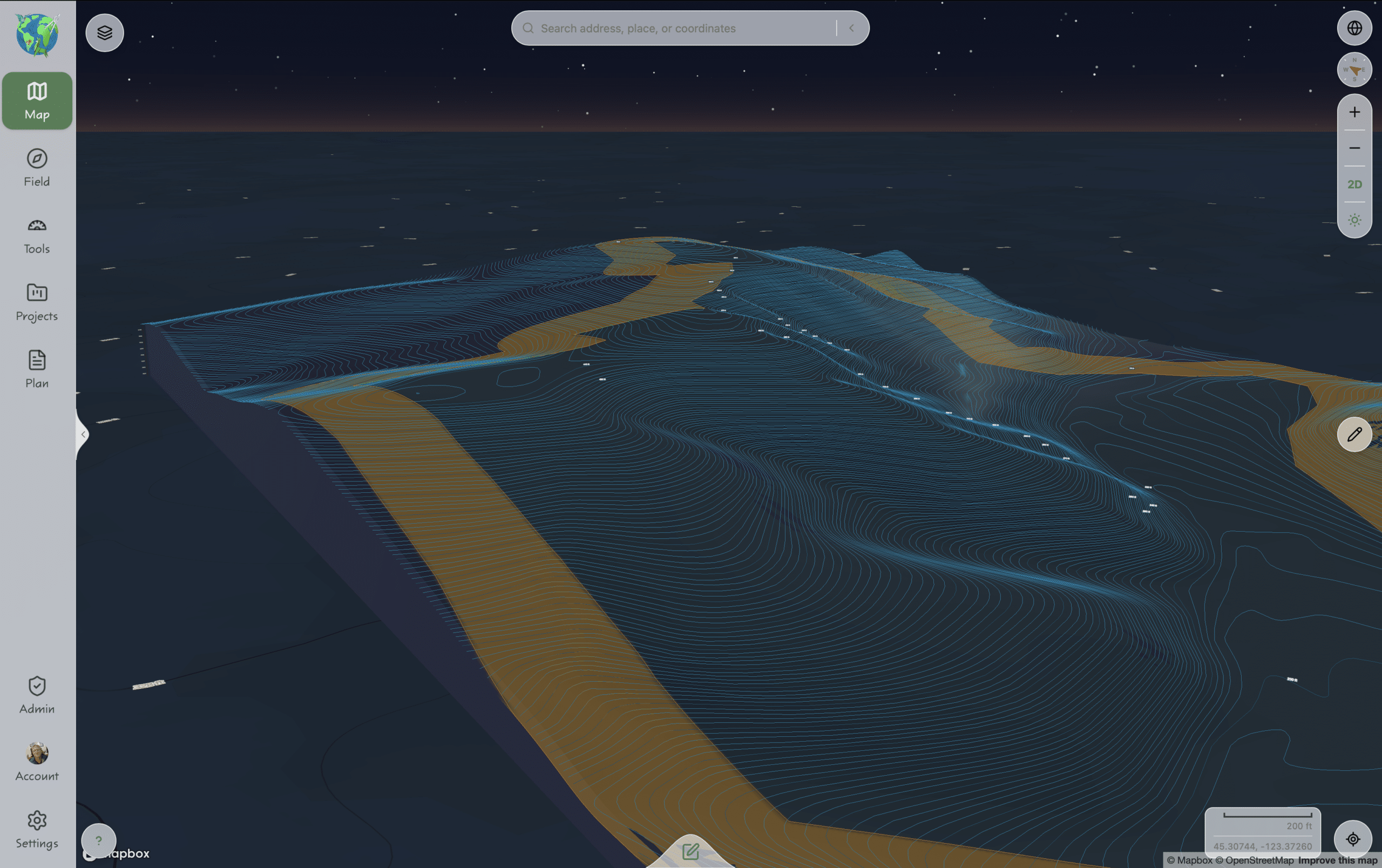
Generate High-Resolution Contours & 3D Terrain Models
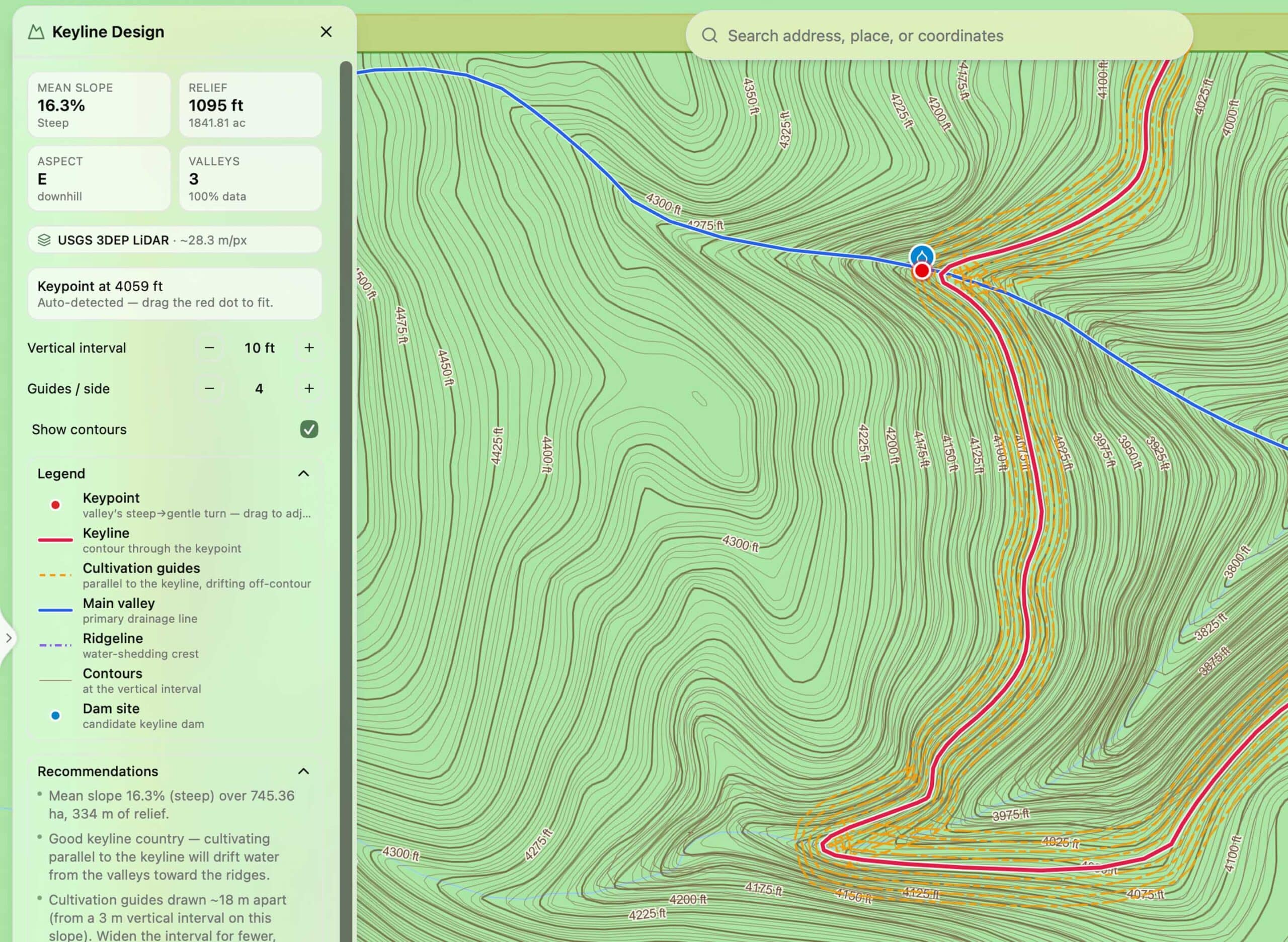
Once you have generated a 3D terrain model for your site, you can then select polygon areas for earthworks like excavations, swales, retaining walls, cut & fill zones, terracing and more. You can also model keyline design for landscapes with suitable topography and the software will help guide your design.
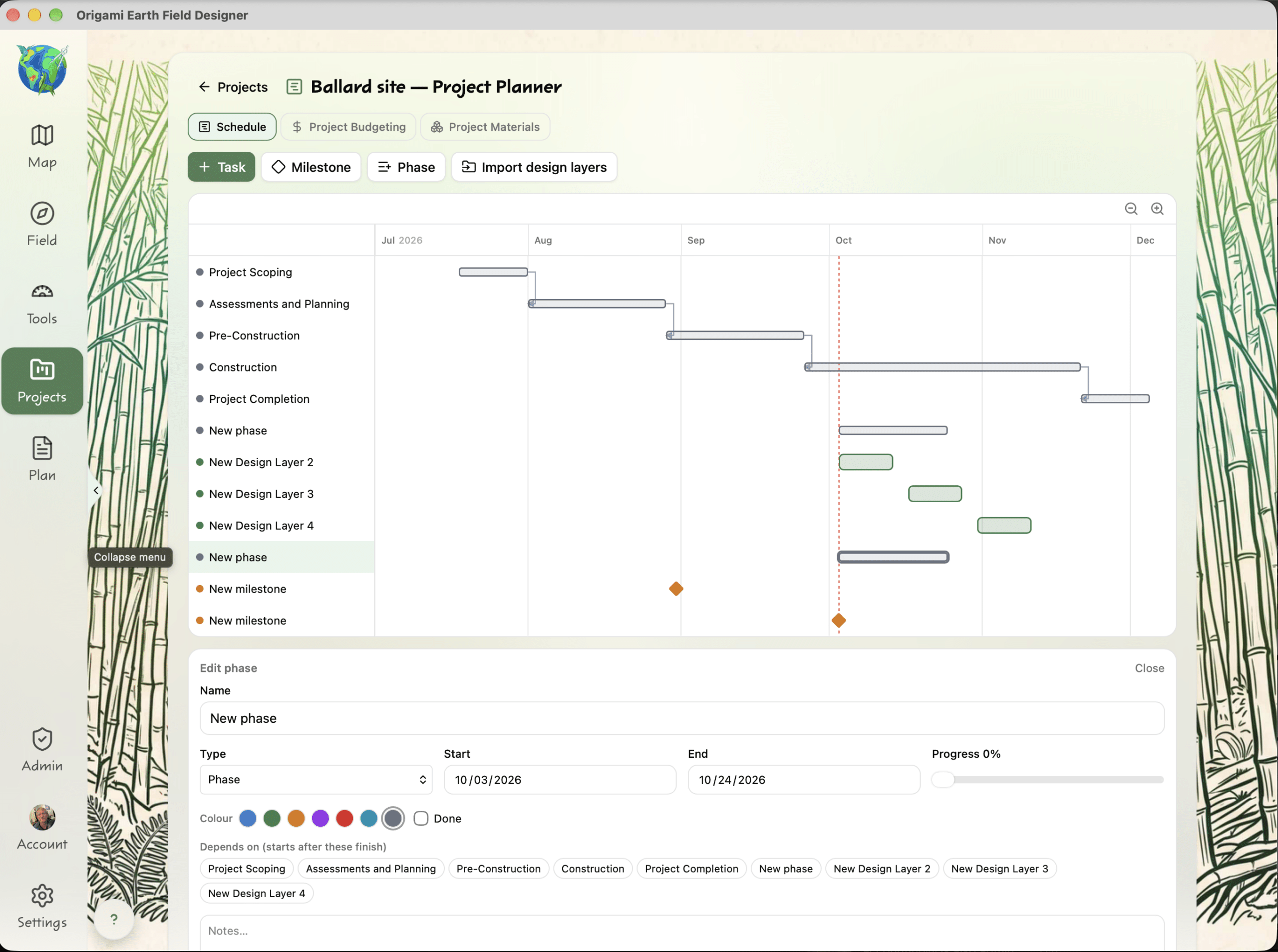
Create schedules and set milestones
Manage schedules, team member assignments and budgets at the project and portfolio level. Assess pinch points with heat maps across individual or multiple pojects.
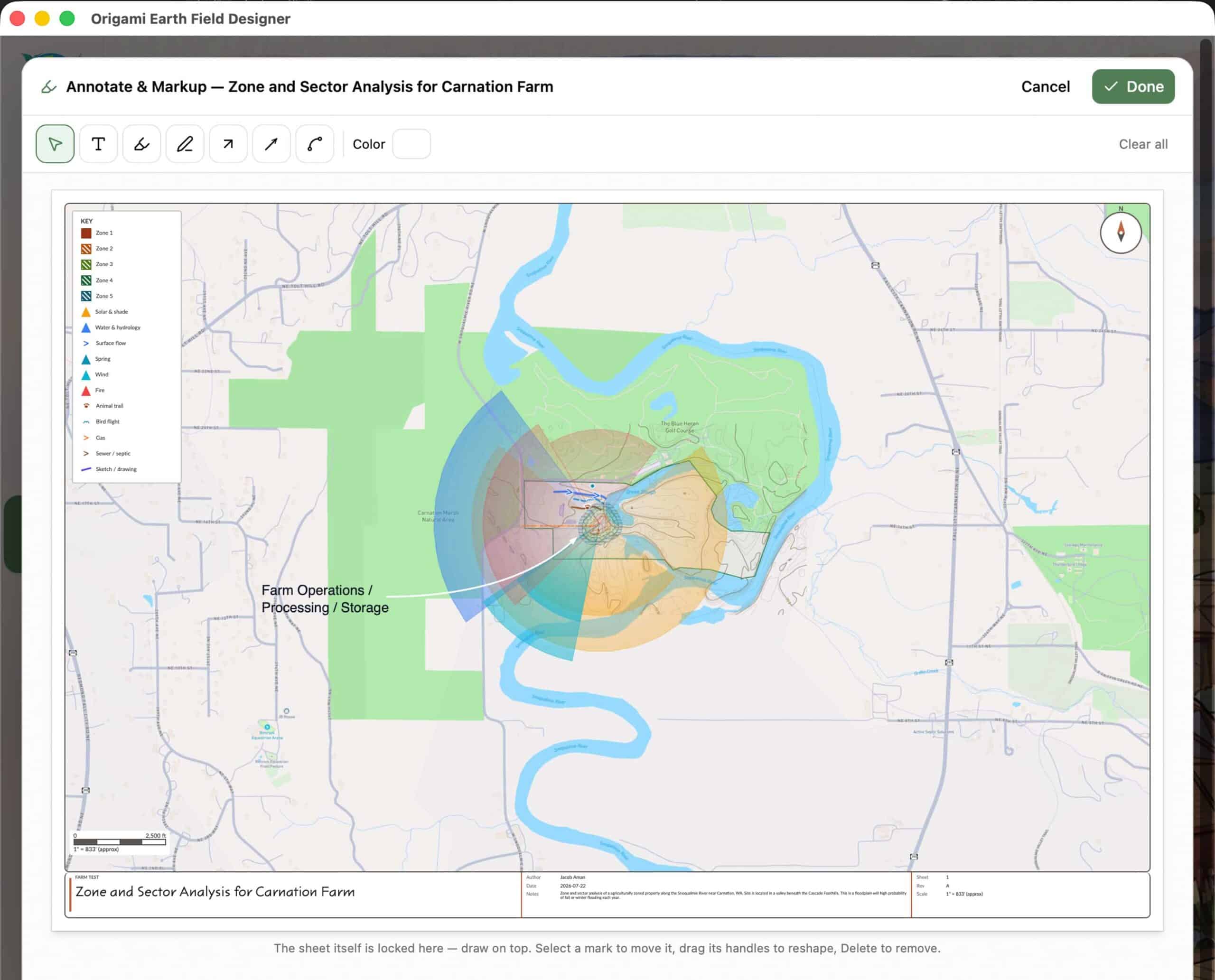
Generate professional plan sheets
Capture views, planning and design elements into plan sheets and annotate each sheet. Easily export PDFs with all needed template elements like title, north arrow, keys, scale bar, notes and more.




Subscription Tiers
Core software features include GIS map with essential CAD design, mobile app and external device field data collection, assessment and planning tools, plan sheets, project management. Each plan comes with a base level of cloud storage.
Standard
- or $200 Annually
- Desktop and mobile app access with data syncrhonization
- Core software
- 30 GB cloud storage
Premium
- or $320 Annually
- Desktop and mobile app access with data syncrhonization
- Features: Everything included in Standard, plus team functions
- 80 GB cloud storage
Pro
- or $460 Annually
- Desktop and mobile app access with data syncrhonization
- Features: everything in premium plus advanced CAD (Yantra) app, photorealstic rendering, additional design and math tools
- 200 GB cloud storage